.02
Our Services
ALTA / NSPS LAND TITLE SURVEYS
BOUNDARY & TOPOGRAPHIC SURVEYS
AS-BUILT & LOCATION SURVEYS
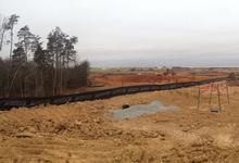
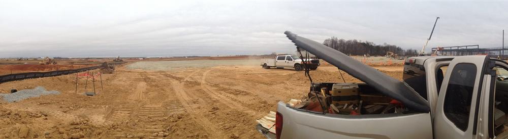
Construction Staking & Layout
HAZMAT SURVEYS
CONSTRUCTION STAKING
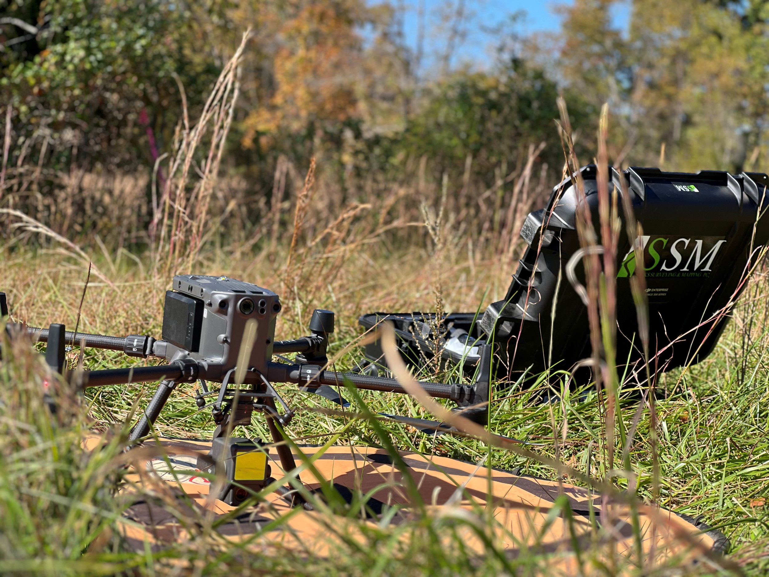
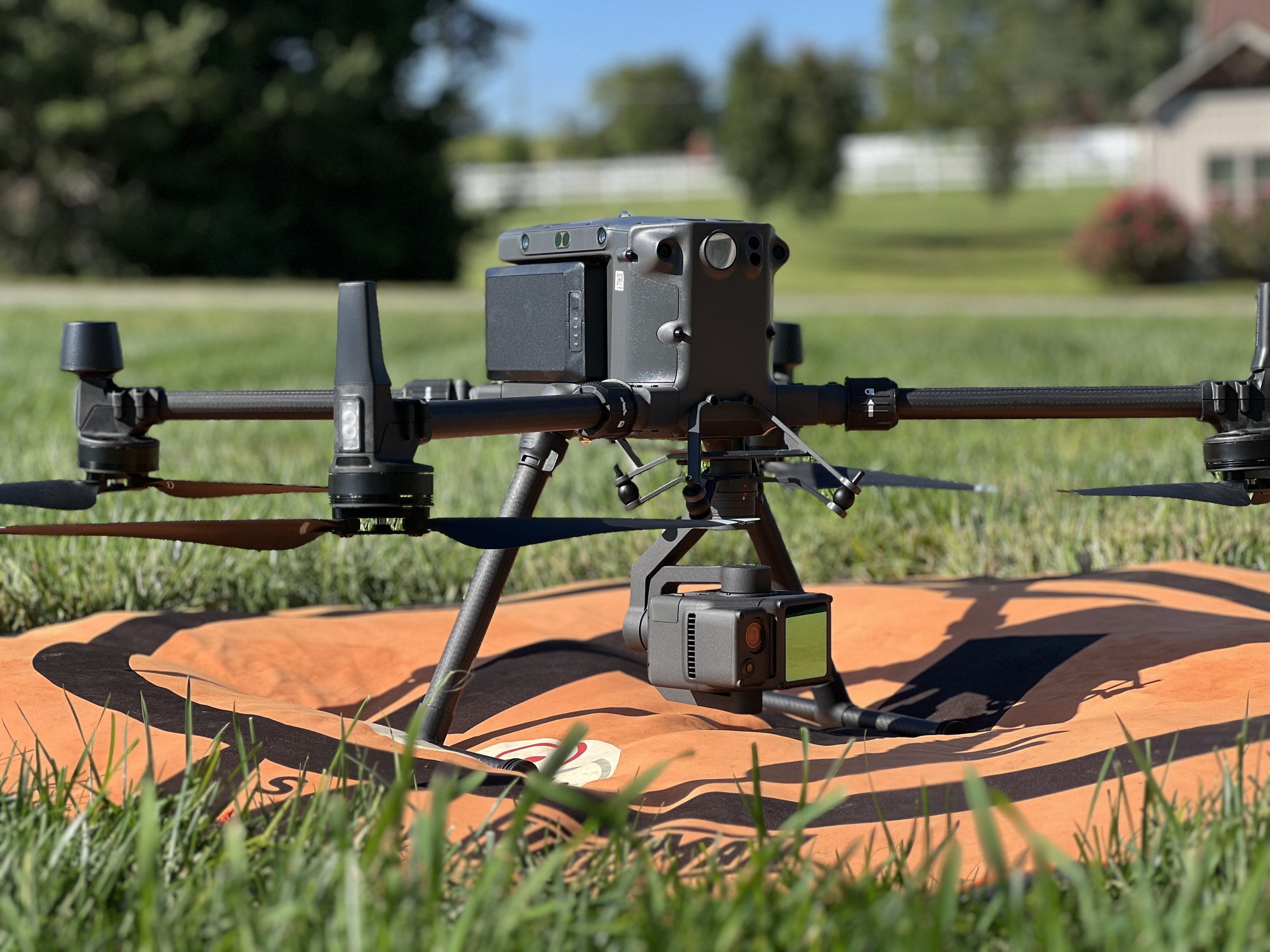
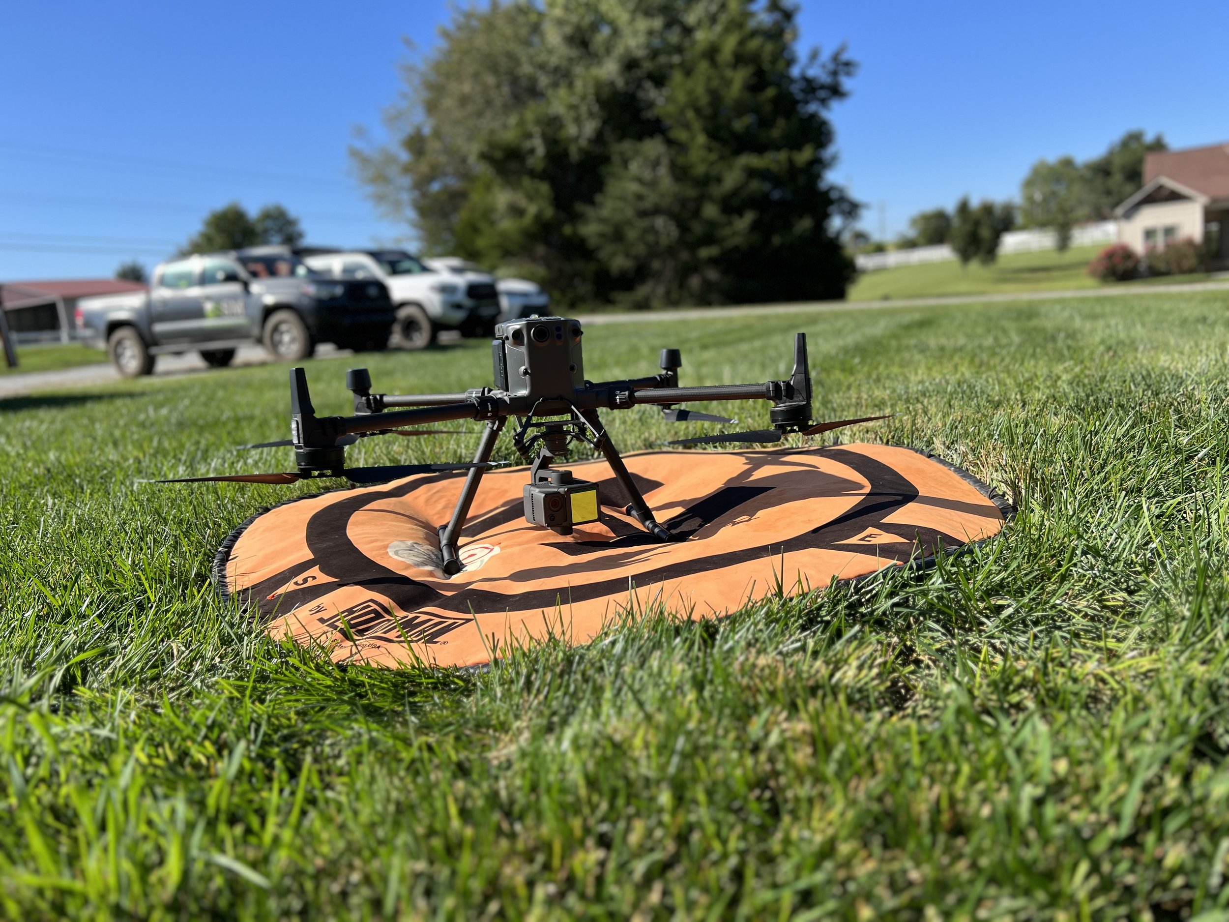
UAS, Manned & Robotic Data ACQUISITIONS (LiDAR, Photogrammetry, Bathymetry)
High-Res Orthomosaic Mapping
high-res surface modeling
Volume Monitoring & Earthwork Analysis
3D Laser Scanning & Point Cloud Generation
Digital Twin Modeling & VR/ar Integration
Hybrid LiDAR Processing (SLAM, Aerial, Terrestrial)
SOLAR FARM LAYOUT
GeoSiteTrack™ Site Monitoring and more!


“Sacks Surveying and Mapping provides professional surveying services primarily to the commercial segment of the real estate & construction industry. We work closely with Real Estate Attorneys, Commercial Brokers, Architects, Engineers, Bankers and Contractors assisting in Site Acquisition, Due Diligence Assessment, Development, Construction Staking Services & Post-Construction As-Builts. ”